Lake Erie Is Frozen


Coming as welcome news to residents of western New York who were buried under nearly seven feet of snow last November, the surface of Lake Erie is now covered in enough ice to declare Buffalo's lake effect snow season effectively over for this winter. Hallelujah.
According to the Monday's lake surface analysis from NOAA, one-quarter of the total surface area of the five Great Lakes were partially or completely covered in ice.

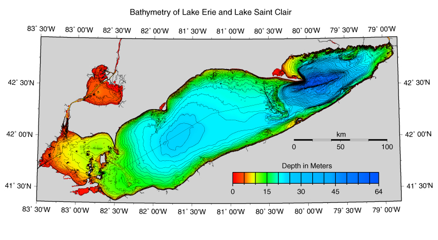
Lake Erie has the greatest ice coverage of the five lakes, with surface coverage approaching 80% on Monday. The National Weather Service in Buffalo declared an "ice in" on January 9—a few days earlier than average—when the city's water treatment plant recorded complete ice coverage near the water intake valves. The small section of the lake that remains ice free is also the deepest, providing the lake's maximum depth of 210 feet.
The southernmost, smallest, and shallowest of the Great Lakes, Erie is usually the first to ice over during the winter. NOAA lists Lake Erie's average depth at only 62 feet, which is shallower than Superior's average of 483 feet, Ontario's 283 feet, Michigan's 279 feet, and Huron's 195 feet. Erie's shallow depth and small size provides the lake a much lower heat capacity than its deeper counterparts; in other words, the lake cools down and heats up more quickly than the other four bodies of water.
One huge benefit to the lake's tendency to freeze over sooner than the other four is that it gives an abrupt end to Buffalo's rather nasty lake effect snow season. Lake effect snow, you'll remember, is caused by warmer lake water heating air above it through conduction, and the heated air rises through convection and produces intense bands of snow. As the lake cools and ice begins to cover its surface, it stops heating the air through conduction, preventing convection and cutting off nature's greatest snow machine.
This was a brutal year for some residents of the Buffalo area, all thanks to one particularly nasty lake effect snow event last November. Back-to-back bands of intense snow developed over the same areas on the eastern shore of Lake Erie the week before Thanksgiving, collectively dumping more than seven feet of snow on towns like Cowlesville. The gradient between a dusting and a walloping was huge—Buffalo Airport only recorded a few inches of snow, while a few miles away in Cowlesville, residents had to bury themselves out from under 88 inches (7 feet, 4 inches) of snow between the two storms.
Buffalo Niagara International Airport has officially recorded 51.4 inches (4 feet, 3.4 inches) of snow between November 1 and January 20, with plenty more possible as we make the slow climb towards spring. A few miles south of the airport, one CoCoRaHS station near Elma Center has recorded 121.3 inches (10 feet, 1.3 inches) of snow for the season. The region is still vulnerable to the regular ol' snowstorms that the rest of us are used to seeing, but unless there's a sudden heat wave that breaks up and melts the ice cover, the eastern shores of Lake Erie are done with lake effect snow for the winter.
People who live east of Lake Ontario, on the other hand...
[Images: AP, GLERL]